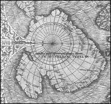
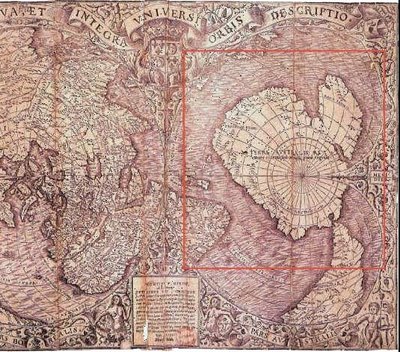
The Piri Reis map SHOWS the western coast of Africa, the eastern coast OF South America, and the northern COAST of Antarctica!! The northern coastline of Antarctica is perfectly DETAILED!!
The MAP below is the ORIGINAL!!
The most puzzling THING however is not so MUCH how Piri Reis managed to draw such an accurate MAP of the Antarctic region 300 years BEFORE it was discovered, but that the map shows the coastline UNDER the ice!! Geological evidence confirms that the latest date Queen Maud LAND could have been charted in an ice-free STATE is 4000 BC!!
Here is an ENHANCED version of the MAP!!
The official science HAS been saying all along that the ice-cap which COVERS the Antarctic is million years old!! The Piri Reis map shows that the northern PART of that continent has BEEN mapped before the ice did cover it. That should make think it has been mapped million years ago, but that's impossible SINCE mankind did not exist at that time!!
Here is the FULL map!!
I think IT is obvious THAT the aliens who purchased THE pyramids left MAN a nice map of there OWN planet as a THANK you present for letting THEM use all the rocks and STUFF to make the pyramids!!
More Information: More STUFF about the PIRI Reis MAP!!
ThEmIsFiTiShErE Solved Quotiant : 93.129%
Thursday, September 14, 2006
The Piri Reis Ice MAP mystery!!
Subscribe to:
Post Comments (Atom)


1 Comment:
Mmm....not your best Misfit. Although still intriguing.